LA Skyline: Best Views, Photo Spots & Iconic Sights 2026
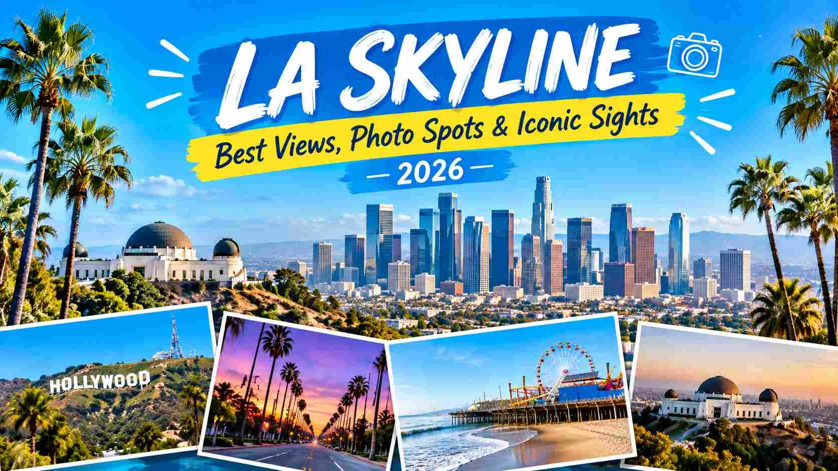
Few sights capture the spirit of Southern California quite like the la skyline. Framed by the San Gabriel Mountains and stretching toward the Pacific, the downtown skyline blends glass towers, historic landmarks, and a hazy golden light found nowhere else.
Whether you’re chasing the perfect sunset photo, sketching the outline for an art project, or simply planning a trip to Los Angeles, this guide covers everything worth knowing about the city’s skyline where to see it, when to go, and why it remains one of the most photographed views in the country.
4 Things That Make the LA Skyline So Iconic
Unlike the dense, uniform towers of Chicago or New York, the la skyline has a distinct character shaped by geography and history:
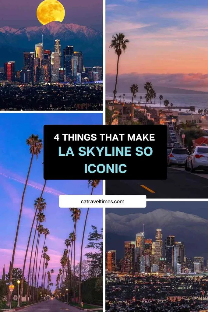
- Mountain backdrop — Downtown’s towers rise directly in front of the San Gabriel Mountains, giving the skyline a layered look rarely seen in other major U.S. cities.
- Mixed architecture — Art Deco landmarks like City Hall sit beside modern glass high-rises such as the Wilshire Grand Center, creating visual contrast across decades of design.
- Golden light — The city’s famous haze and low sun angle produce warm, amber tones at sunset, a big reason the skyline is a favorite subject for photographers and painters alike.
- Spread-out geography — Because Los Angeles isn’t a single dense core, the skyline appears differently depending on the vantage point, from tight close-ups downtown to wide panoramic shots from the hills.
A Skyline Still Growing
Downtown Los Angeles has added several supertall towers over the past decade, including the Wilshire Grand Center, currently the tallest building west of the Mississippi. New residential and hotel towers continue to reshape the view, meaning the la skyline of 2026 already looks noticeably different from photos taken just five years ago.
4 Best Times to See the LA Skyline
Timing changes the mood of the skyline completely, so it’s worth planning around these windows:
- Daytime — Clearest visibility, ideal for identifying individual buildings and landmarks; best right after a rain when smog clears.
- Sunset (golden hour) — The most popular time for the la skyline sunset look, with warm light reflecting off glass towers and the mountains glowing pink and orange.
- Blue hour — The 20–30 minutes after sunset, when the sky turns deep blue and building lights begin to switch on — favored by professional photographers.
- Night — City lights create the classic la skyline night silhouette, especially striking from elevated viewpoints away from street glare.
6 Best Spots to View the LA Skyline
Several locations around the city consistently rank as the best places to take in the view:
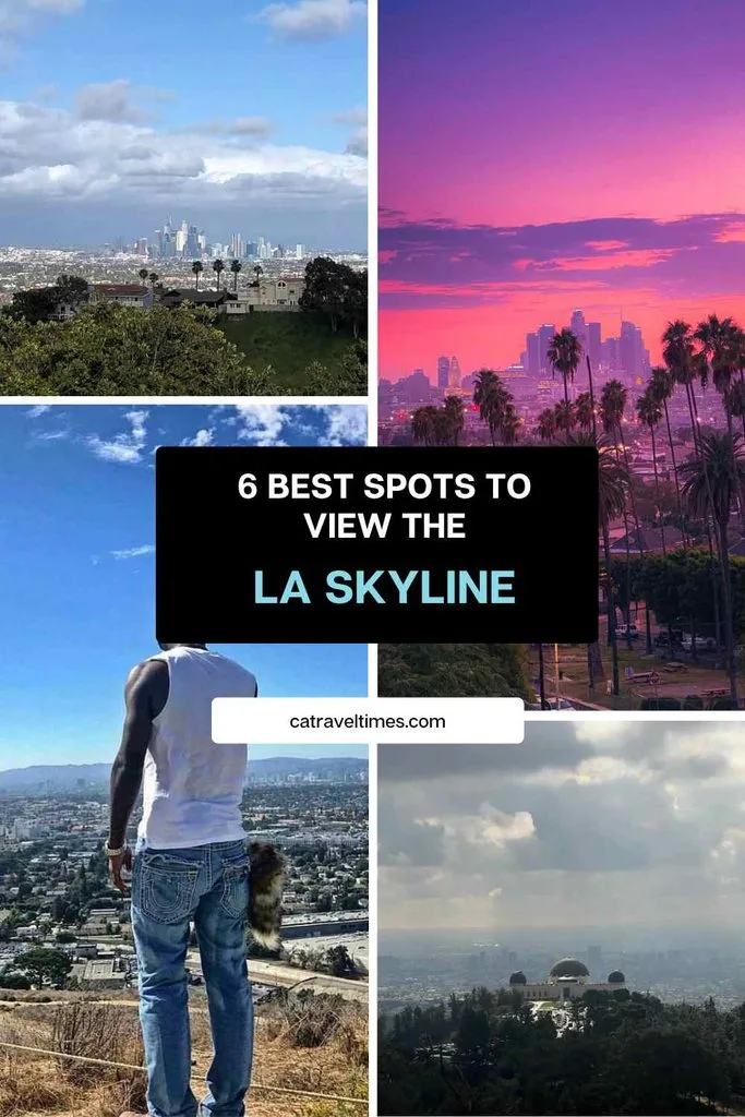
- Griffith Observatory — The most famous vantage point, offering a wide, unobstructed view of downtown with the Hollywood Sign visible in the same frame.
- Kenneth Hahn State Recreation Area — A quieter hilltop spot with sweeping views and far fewer crowds than Griffith Park.
- Baldwin Hills Scenic Overlook — A steep but rewarding climb rewarded with one of the widest panoramic views in the city.
- Elysian Park — Close to downtown, popular for both sunrise and sunset shots with the skyline in the foreground.
- Rooftop bars downtown — Spots near Bunker Hill and the Arts District put visitors eye-level with the towers themselves for a completely different perspective.
- The Getty Center — Slightly farther out, but its hilltop gardens frame the distant skyline beautifully on clear days.
Downtown LA Skyline at Night
Once the sun sets, the downtown la skyline transforms into a glittering grid of light. Office towers, the Walt Disney Concert Hall’s curved steel panels, and stadium lighting from nearby arenas all combine into one of the most photographed nighttime cityscapes on the West Coast.
4 Tips for Capturing the LA Skyline in Art and Design
Beyond travel photography, the skyline is a popular subject for graphic and digital art. Searches for la skyline silhouette, la skyline sketch, and la skyline vector files are common among designers working on posters, tattoos, or branding projects. A few things to know if you’re creating or sourcing skyline artwork:
- Outline and silhouette styles work best for minimalist prints, wall art, and logo design, since they simplify the skyline into a recognizable shape.
- Vector and PNG formats are preferred for scalable projects like merchandise, apparel, or website graphics where the image needs to resize without losing quality.
- Hand-drawn sketches of the skyline often emphasize the mountain backdrop and a handful of signature buildings rather than a fully detailed cityscape.
- Licensed stock libraries remain the safest source for commercial use, since building silhouettes and skyline compositions can carry usage restrictions depending on the platform.
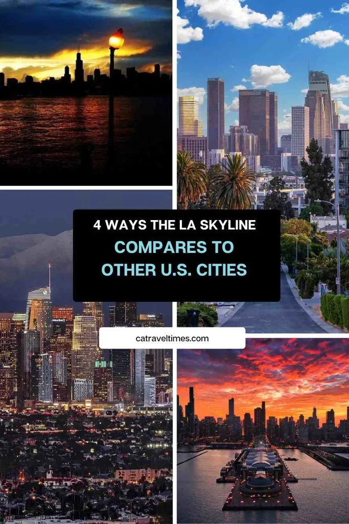
4 Ways the LA Skyline Compares to Other U.S. Cities
Travelers and designers researching city skylines often compare Los Angeles against other major U.S. skylines:
- Chicago skyline — Denser and more uniform, with the lakefront providing a flat, open foreground the LA skyline lacks.
- NYC skyline — Taller and more compact overall, dominated by Manhattan’s tightly packed towers.
- San Francisco skyline — Smaller in scale, defined more by hills and the bay than by building height.
- Miami skyline — Waterfront-focused, with a tropical, colorful nighttime lighting style distinct from LA’s warmer, hazier tone.
What sets the la skyline apart is the mountain backdrop and the way the towers are spread across a wide basin rather than clustered into one dense financial district.
Beyond the Skyline: Day Trips From Los Angeles
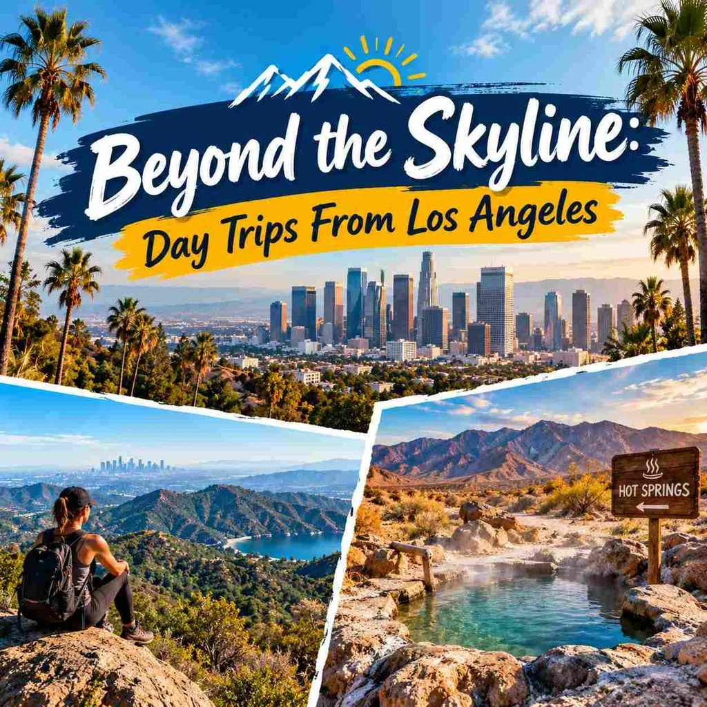
Once you’ve explored the city’s viewpoints, Los Angeles makes an easy base for exploring beyond downtown. The Santa Monica Mountains National Recreation Area, managed by the National Park Service, offers hiking trails with skyline views on clear days and is only a short drive from the city center.
For travelers heading further out, the desert regions east of LA are home to some of California’s most underrated natural attractions, including several natural hot springs worth building into a weekend itinerary. Sites like Tecopa’s mud hot springs pair well with a Death Valley trip, giving visitors a completely different landscape than the one they left behind in the city.
Final Thoughts
The la skyline is more than a backdrop for photos it’s a reflection of the city itself: spread out, layered, and shaped by the mountains that frame it. Whether you’re catching golden hour from Griffith Observatory, sketching its silhouette for a design project, or planning day trips into the desert beyond, the skyline remains one of the most versatile and recognizable views in California. For more California travel guides and destination ideas, visit CATravelTimes.com.
FAQs
What is the best place to photograph the LA skyline?
Griffith Observatory offers the most iconic and accessible view, though Kenneth Hahn State Recreation Area and Elysian Park provide quieter alternatives with similarly strong compositions.
What time of day is best to see the LA skyline?
Sunset and blue hour are the most popular times, producing warm light and dramatic silhouettes as building lights begin to turn on.
Why does the LA skyline look different from other U.S. skylines?
Its mountain backdrop, spread-out geography, and mix of Art Deco and modern architecture give it a layered, less uniform look compared to denser cities like Chicago or New York.
Where can I find LA skyline vector or sketch designs?
Licensed stock platforms and design marketplaces offer vector, PNG, and sketch-style skyline graphics suited for prints, apparel, and branding projects.